
Terrain Generator
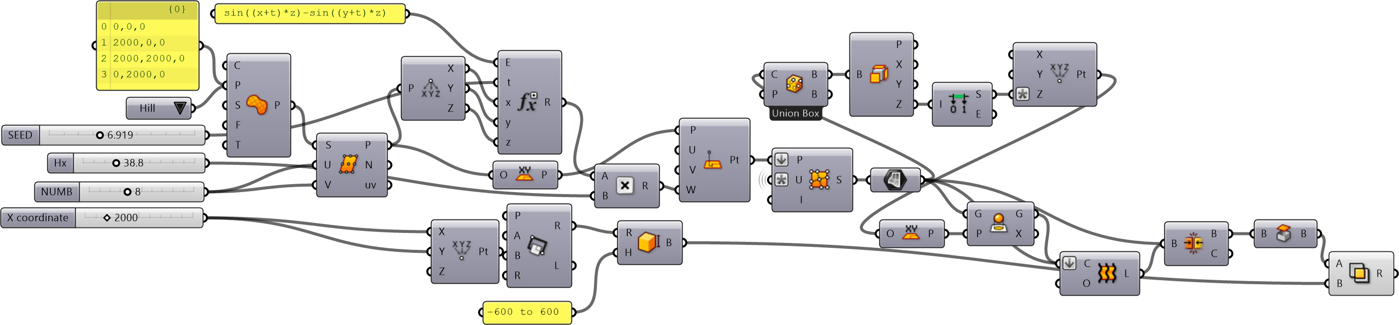
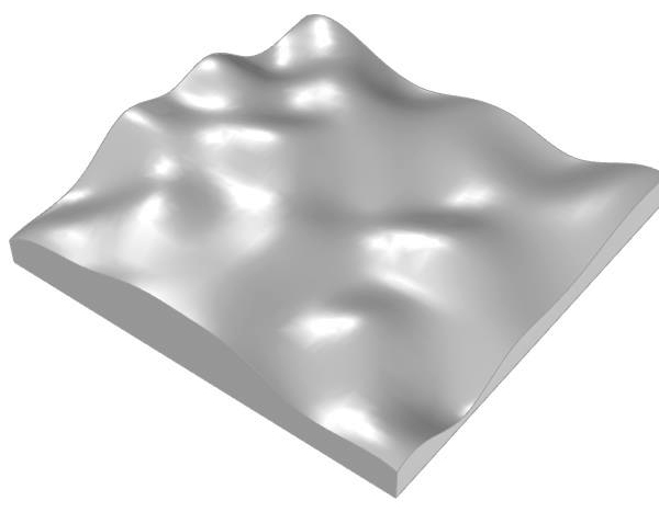
Last year, for the midterm assignment in our first-year basic design studio, we gave our students a range of different, randomly generated contexts to work with. For this purpose, I developed a small Grasshopper tool that makes the graph of a function look as much like a terrain model as possible. This tool is not really a procedural terrain generator. I would genuinely like to build one, someday. What we have here is simply a function surface. At the inputs, you specify how flat or rugged the terrain should be, whether its overall form should resemble a hill or a valley, and its dimensions. The diagram looks rather complicated for such a simple operation. This is because the aim was to provide the students with a clean, solid model that was ready for contouring and physical model-making. For this reason, the generated surface is trimmed and converted into a solid.
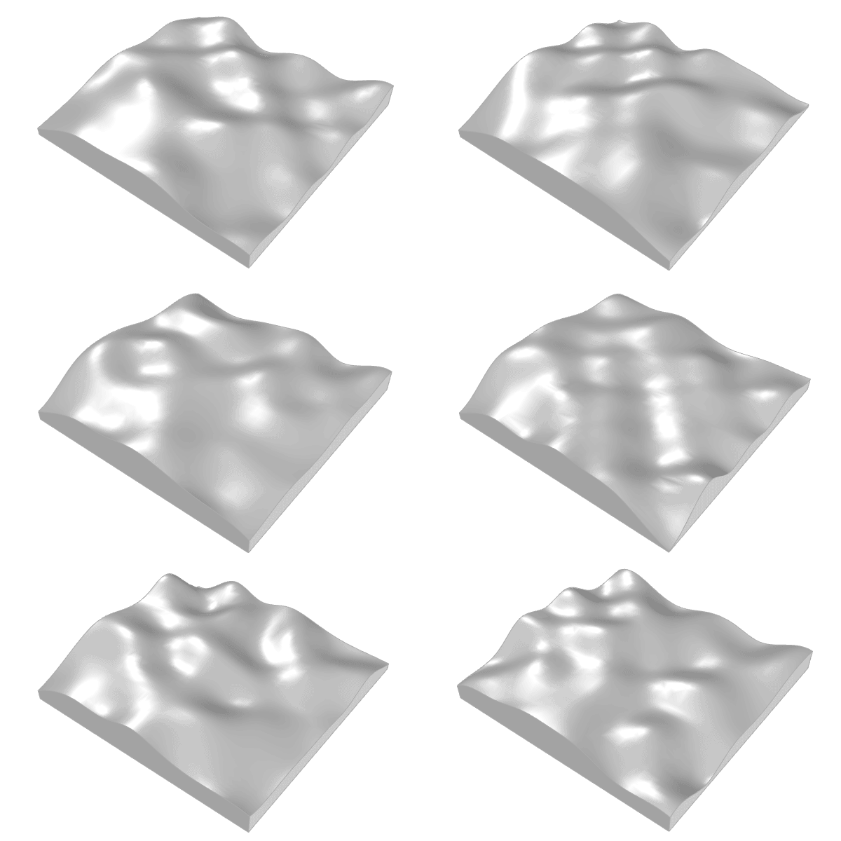
If you examine the code, you will see that there is actually no random calculation involved. Points on a grid are displaced upward according to a function. In fact, the code could have been written in a much simpler way. If you move the function parameter I called “Seed” very slowly, the transitions in the surface reveal that the calculation is not actually random.
Working with such hypothetical terrains can sometimes be useful in architectural design studios. In this case, it offered an opportunity to introduce basic design students, who had not yet encountered architectural space, to the subject through surface geometry. Of course, the context of a site has much more than the geometric surface alone. In the stduio, as we move on, it was possible to incorporate layers of information into this surface geometry. In the following weeks, we gave the students a few more tools to help them analyze these models and make design decisions based on their findings. I’ll publish those tools soon.
Cite this post
Related Posts
Slope Map on Terrains
August 18, 2026
I previously shared the Grasshopper definition for terrain generation that we used in last year’s studio midterm. One of the goals of this project was to take the first step toward developing students’ skills in understanding, processing, and utilizing terrain data as a design input. To support this objective, we provided them with small supplementary tools. One of these tools was the slope map. As you can see, this is quite a simple Grasshopper definition. It computes the slope of…
Curvature Map on Terrains
September 17, 2026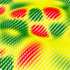
This is the last of the site analysis tools we previously used in the midterm project of first-year architecture education. As you may recall, we previously introduced a tool that generates topographies based on specific parameters. Afterward, we examined two tools that perform slope and flow analyses on these topographies. Today, we are presenting a tool that analyzes curvature. This topic actually constitutes one of the interesting intersection points between architectural design and differential geometry. Curvature is not something architects…
Flow Map on Terrains
September 11, 2026
We previously looked at the terrain generator script we used in midterm projects with first-year architecture students over here. Later on, we added a few analysis modules to this tool. You might remember the slope analysis tool from this link. Today’s topic is another type of analysis: flow. The idea for this code wasn’t actually mine; I developed it by looking at an existing script based on Serkan Uysal’s suggestion. Unfortunately, I don’t know who originally wrote it. Keeping track…
Spacebound
September 24, 2026
Let’s take a closer look at the midterm jury assignment for our “Field & Matter”- themed Computation-based Basic Design 2 studio, which I conducted last year alongside Serkan Uysal, İpek Kuran, and Sinan Logie. I shared the studio’s final project, Earthbound, in a previous post. In this post, we will focus on our process-oriented midterm project named Spacebound. Topography as a Data Field In this first major phase of the “Field & Matter” studio, we examined how moving and stationary…
Tensile Fabric with Kangaroo
September 25, 2026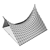
How much work we did last year for first-year architectural education! The tensile fabric study we carried out using Grasshopper Kangaroo in “Design Computing”, a first-year course I coordinated alongside my colleague Serkan Uysal, served as a baseline for the material research addressed in the Basic Design studio at that time. Such geometric optimizations in Kangaroo are no longer surprising or novel to anyone. However, experiencing these tools and possibilities in architectural education in the very first year offers a…