
Geography of the Unsayable
Everything starts with an image in the mind, with a cinematic dream: the great white cliffs at the end of the movie, “Atonement”. While the waves are hitting the shore, that reunion that can never happen. But the moment we take our first step, that abstract feeling of Ludwig’s hard reality smacks us: “The world is everything that is the case; it is the totality of facts, not of things.”
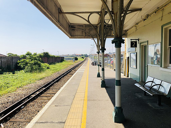
The exact departure times on the station boards, the numbers on the ticket, the platform numbers, and the railway tracks. Our existence starts to take shape through this web of things and moments. Once all the things are given, all the possible connections between them also appear before us, like links in a chain: the route from Birmingham to the Sussex coast, the green valleys of Cuckmere Haven, the lines showing changes in elevation, and the sections drawn by our own steps all become part of a single logical network.
When we reach the coastline and the Seven Sisters cliffs, our minds do not simply look at this huge landscape. We start trying to build a logical picture of the facts in front of us. Because “the totality of true propositions is the whole of natural science.”
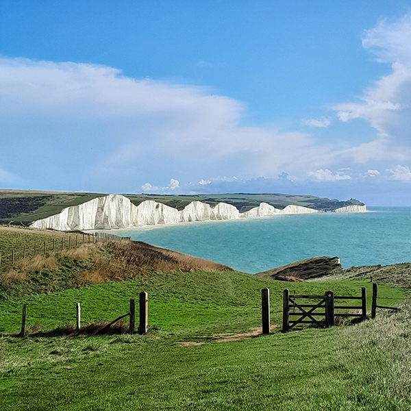
To make sense of the chalk cliffs before our eyes, we turn to the rational language of science. Millions of years of plate tectonics, the breakup of Pangaea, the rise of ocean floors, and the crystal structure of the calcium carbonate that makes up these massive formations. We think clearly about everything that can be thought about, and we describe everything that can be said with the certainty of science, geology, and chemistry.
And we do not stop there. We break the physical world down into its smallest units that can be measured and calculated. The coastline and the texture of the cliffs turn into pixels, Gaussian blur maps, point-density distributions, and microscopic analyses of pebbles. The landscape we see becomes almost like a digitized dataset, a logical format. The human mind surrounds and limits everything it sees with language, mathematics, and models.
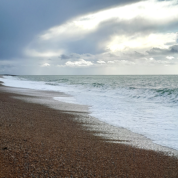
When we reach that absolute edge where analytical thinking, geometry, and data analysis come to an end, all that remains in front of us is the endless ocean and a line on the horizon. “The limits of my language is the limits of my world.” All the scientific and logical structures we have built in our minds begin to stop at the vastness of the horizon. Because the final meaning of the world lies outside this world of facts. And the unavoidable final sentence of the Tractatus echoes once again: “Whereof one cannot speak, thereof one must be silent.”
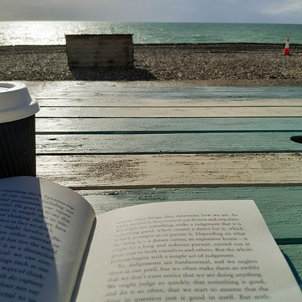
At the edge of death, all theories, digital models, geological sections, and formulas fall silent. Along with the sound of the wind, the powerful waves echoing beneath the cliffs begin to rise. What remains is only a cup of coffee left on the table, a book, whose pages move in the wind, the sound of foamy waves breaking on the shore, and all those things that cannot be put into words.
“The world is everything that is the case; the world is the totality of facts, not of things.”
“The totality of true propositions is the total natural science.”
“The limits of my language mean the limits of my world.”
“Whereof one cannot speak, thereof one must be silent.”
Cite this post
Related Posts
Syntax, Meaning, and Wasp
August 24, 2026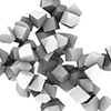
The question of how form emerges in architecture has always been one of the most fundamental debate topics of computational design. When I was a graduate student, we used to examine how abstract language structures made of words and rules turned into spatial and geometric systems. In this post, starting from the reflection of linguistic theories on architecture, we will talk about the logic of discrete aggregation that we study in the first year Design Computing courses. At the same…
On Reason, Language, and Power
October 8, 2026
Thomas Hobbes’s 1651 work, Leviathan, was written in Paris, where he had fled the English Civil War because of his royalist leanings. In this work, Hobbes defines Leviathan as a strong state authority. To do so, he is compelled to develop certain definitions concerning human and societal nature. In this week’s Digital Culture Readings class, we focused on the fifth chapter of Leviathan, titled “Of Reason, and Science.” While eagerly awaiting my students’ papers, I present my own response paper…
A Programmable World
October 1, 2026
The mandatory course Readings on Digital Culture in the Graduate Program in Architectural Design at Istanbul Bilgi University began with the introductory chapter of Charlie Gere’s Digital Culture. We will write a response paper every week. I have completed my response to the first reading. The reading begins with the parallel development of the Industrial Revolution and capitalism. It then follows this history up to the emergence of today’s computers. It looks at how money gradually became a more abstract…
Why is the Hilbert Curve Beautiful?
April 8, 2025
The Hilbert Curve is one of the results of David Hilbert’s vision of mathematics as a network of symbolic systems. Defined in 1891, this curve is a fractal that fills a two-dimensional plane with a one-dimensional line in the limit. It exhibits self-similarity. It emerged from representing higher-dimensional spaces through continuous, lower-dimensional entities. A curve that grows within a bounded area remains continuous but non-differentiable. Yet it possesses infinite length. Perhaps no one will ever truly see or fully grasp…
Map Cleaner Script
December 3, 2022
The dwg format maps in Turkey are often problematic. You need to clean these for architectural studios. Maps mostly contain height information of buildings. But the contours of the buildings are distorted and polylines are generally exploded. The map of the region where we worked in the studio I conducted in the Fall 2021 term was also problematic. I created a Map Cleaner Script in Rhino Python and converted the building drawings on the map into solid 3D models. We…